|
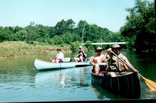
This is the section we normally float, from Weber Road, in Murray County, Georgia, to Georgia Highway 2, at Beaverdale. It's about an 8 mile float. So, this section takes a good day to float / fish, and that's with not stoppin' to fish every rock & stump.
|
|
The stretch of river downstream of Weber Road gets fished pretty hard, due to it's accessibility from the road. There are plenty of weed beds through here, providing some good fishing in certain ones of the deeper holes.
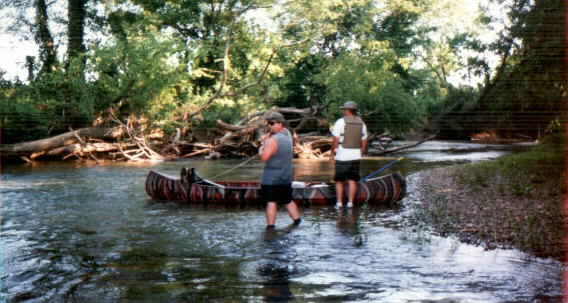
Just past the Carlton Petty dairy farm, you'll come to a rocky area of the river, then a little further is the old Gregory's Mill Bridge. The locals do quite a bit of catfishin' here, throughout the Summer.
PLEASE.....Be a responsible sportsman. Do not litter! Our old river already has enough trash in it.
|  |

Not far below the Gregory's Mill Bridge, a small creek enters the river from the north. Be careful along the sandbar, at this junction. Old tree root wads are buried under the sand, and occasionally, you'll step through, where you could very easily break a leg.
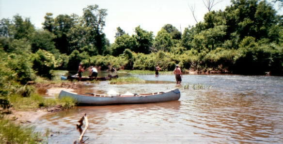
Below here, the river slows down a bit. Through this section, there will be a lot of long flat stretches, with what seems like very little current. There's plenty of stumps and log jams in the water, which usually makes for pretty good Bass fishing.
|
|

Bryant's Swimming Hole is the halfway point of this float trip. Here the river is deep and green, with plenty of shade. One bank of the river is of rock, which normally holds plenty of decent fish.
From here on, Georgia Highway 2 pretty much parallels the river to the south and east, with cow pastures and corn/soybean fields in between.
| |
Last, but definately not least, is what we call the "Snakey Section", because of the way the river twists back and forth upon itself. Through this section are log jams galore, with deep holes along the bends, cut by the current. This section, by far, is the most promising of the "Weber Road to Beaverdale" float. This is where the "good' uns" are found.
|